The first thing you notice is the stillness. Not the peaceful kind that settles after a storm, but a taut, breathless pause in the sky. The clouds hover but never gather, the sun lingers just a bit too long, the wind seems to wait for instructions that never come. Day after day, the weather feels stuck on repeat, as if someone has pressed pause on the atmosphere. Across oceans, fields, and cities, scientists are watching something both subtle and enormous unfold: high-pressure systems that refuse to move on.
When the Sky Refuses to Move
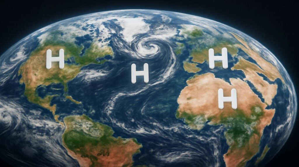
Picture the atmosphere as a vast, slow-moving river. Normally, air flows, bends, bumps into mountains, spirals around storms, then continues downstream. High-pressure systems are like broad, gently spinning eddies—regions where the air above is sinking, warming, and generally keeping clouds and storms at bay. They drift. They pass. They make a mark and move on.
But in recent years, that drifting has become disturbingly sluggish. Meteorologists from Europe to North America to East Asia have begun reporting a pattern: massive high-pressure systems that lock in place and linger far beyond what historical records would suggest is normal. They stall over continents for weeks, sometimes for months, bending the usual rhythms of wind and storm into something unfamiliar.
What might sound like an abstract atmospheric quirk has very real, very tangible consequences. Under a stubborn high, rain-bearing systems are pushed away, clouds thin out, and moisture slips around the edges. Farmlands crisp. Forests dry out. River levels sink. In some places winter storms suddenly vanish; in others, heat domes build, pressing down on cities with a sweltering intensity that seems to have no off switch.
Scientists have a name for this kind of behavior: “blocked” or “persistent” high-pressure systems. And they’re happening more often, showing up in climate models and satellite traces like fingerprints on the planet’s changing weather cycles.
An Invisible Weight Over Our Heads
Stand in the center of a strong high-pressure system and the air can feel strangely heavy and light at the same time. Heavy because the sky is, in a literal sense, weighing more on you—air molecules packed more tightly together than usual. Light because the weather is calm, the wind weak, the clouds scattered. It feels settled. Predictable. Safe.
For a day or two, that kind of calmness is welcome—perfect picnic weather, the kind of days people describe as “beautiful.” But stretch that calm over weeks, and the mood changes. Rivers shrink from their banks. Grass crackles underfoot. The ground turns hard as fired clay. Pollen hangs in the unmoving air, thick and scratchy, while airborne pollutants linger longer than usual, trapped beneath the cap of sinking air. City dwellers wake to hazy mornings and go to bed under the same untroubled, cloudless sky.
In 2021, an intense, immobile high-pressure system parked itself over the Pacific Northwest of North America, forming what scientists called a “heat dome.” Under its unyielding lid of pressure, temperatures soared to record-breaking levels. Asphalt buckled. Power lines sagged. People opened their windows at midnight and found the air outside hotter than inside. That event, once considered unthinkable, has joined a growing gallery of episodes linked to high-pressure systems that simply refuse to move.
The Slow Dance of the Jet Stream
Many of these persistent highs are intertwined with the jet stream—the high-altitude river of fast-moving air that snakes around the planet, steering storms and organizing the weather like an invisible conductor. The jet stream is driven in large part by the temperature difference between the equator and the poles. Historically, that difference has been sharp, like the edge of a knife, helping to keep the jet stream strong and relatively straight.
But the Arctic is warming faster than the rest of the world. As the polar regions heat up, the temperature gap between equator and pole shrinks. Some researchers describe the result as a “slackening” of the jet stream—a river losing its urgency. Without that sharp gradient, the jet stream can wobble, loop, and slow. Where it kinks northward, high-pressure systems tend to form and, increasingly, to become stuck.
It’s a little like a traffic jam in the sky. Once a big, bulging ridge of high pressure forms, it can block the usual west-to-east motion of storms. Systems pile up on either side of it, forced to circle around rather than pass through. Regions under the high stay dry and hot; regions under the opposite trough can suffer excessive rain, storms, or cold. Instead of changeable, rolling weather, you get extended extremes.
Weather on Repeat: What Stubborn Highs Do on the Ground
From the vantage point of a satellite, these high-pressure events show up as sprawling, pale swirls. On the ground, they shape lives. Farmers, firefighters, city planners, and ordinary families all feel the consequences of this atmospheric stubbornness.
Field after field, season after season, the new pattern is not just about odd hot days or random dry spells. It’s about entire growing periods marked by a kind of atmospheric monotony. Rains come late or not at all. Plants whose life cycles are tuned to typical seasonal swings find themselves stranded in the wrong conditions at the wrong time.
Meanwhile, forests—already stressed by previous droughts or pests—turn tinder-dry under persistent highs. Needles and leaves crisp, undergrowth thins to dust, and the soil itself can reach temperatures that make roots struggle. One spark, one lightning strike, one overlooked campfire, and the land goes up in fast-moving fire, fueled by parched brush and fanned, when the wind finally returns, by sudden gusts along the edges of the high-pressure system.
The following table summarizes some of the key ways these long-lived high-pressure systems translate into impacts you can see and feel, region by region:
| Region | Observed Effect | Typical Consequences |
|---|---|---|
| Western North America | Heat domes and stalled highs in summer | Record heatwaves, wildfires, power grid stress, health emergencies |
| Central & Southern Europe | Blocking highs during growing season | Multi-week droughts, crop losses, reduced river transport, water restrictions |
| South Asia | Highs that delay or divert monsoon flow | Late monsoon onset, heat stress, strain on agriculture and water supply |
| Australia | Persistent subtropical highs | Prolonged fire seasons, coastal heatwaves, marine heat stress |
| Arctic & Sub-Arctic | Stationary ridges over polar regions | Accelerated ice melt, unusual warmth, feedbacks to global circulation |
In each of these places, the story is different, yet strangely similar: a familiar rhythm of seasons interrupted by the same atmospheric refusal to move along.
The Science of “Abnormal” Persistence
To call something “abnormal” in climate science is to invoke a deep archive. Researchers lean on decades, sometimes more than a century, of weather records, along with tree rings, ice cores, and other proxies that hint at the atmosphere’s long memory. When they say high-pressure systems are now lingering in unusual ways, they are measuring that statement against these long, careful histories.
They look at how often blocking events form, how long they last, how intense they are, and which regions they favor. Statistical methods then sample the distribution of those events over time. What emerges is a pattern: the tails of the distribution—the rare, long-lasting, extreme blocks—are thickening. Events that would have been described as once-in-a-century are beginning to show up in spans of decades, or even years.
Climate models, those digital Earths running on supercomputers, are fed with rising greenhouse gas concentrations, reduced sea ice cover, warmer oceans, and altered snow lines. Out of those simulations come atmospheres that look unsettlingly like the one we’re living in: jet streams that meander, highs that loiter, and extreme weather that persists rather than sweeps through.
There is still healthy scientific debate about the exact mechanisms. How much of the change is due to rapidly warming Arctic zones? How much is connected to shifting ocean patterns like El Niño and La Niña? Are land-surface changes—such as deforestation and soil drying—feeding back into the persistence of highs? The broad outline is clear, though: the background climate is warmer, and that warmth is nudging the atmosphere toward new behaviors, including these abnormal spells of high pressure.
Listening to the Land Under a Blocked Sky
Spend a summer under one of these lingering systems and you learn to read the land differently. Dawn arrives and the air is already warm, carrying the faint, metallic scent of dry dust. Birds shift their routines, calling earlier, seeking shade sooner. Lawns lose their springy resilience, turning the color of toast. Street trees begin dropping leaves long before autumn, a quiet triage to conserve water.
Rivers tell their own story. Channels narrow. Sandbars surface like the backs of sleeping animals. Boats have to navigate carefully around new shoals. In some cities, bridges that once stood modestly over full rivers now loom far above a trickle, exposing stonework and silt that haven’t seen the sun in years. Reservoirs record the same story in reverse: bathtub rings widen, stepping down in pale bands.
Even sound changes. Without storms to break the spell, there’s less thunder, less patter of rain on roofs, fewer wet tires whispering over streets. Instead, you hear sprinklers, air conditioners, the rustle of dry leaves. After dark, heat radiates up from concrete and brick, making nights strangely bright and restless.
For people whose work depends on the moods of the sky—farmers, fishers, emergency responders—these sensory details are more than poetic observations; they’re early warning signs. When the forecast map shows a wide, pale dome of high pressure parked overhead for “at least another 10 days,” they begin their quiet calculations. How many days of irrigation can the wells support? Where will the next wildfire break out? Will elderly neighbors be able to cope with another week of heat?
And always, in the background, the question: how normal is this, really?
Adapting to a Stubborn Atmosphere
The atmosphere doesn’t answer questions. It only responds to physics. So communities are learning to adapt to the new persistence of highs by changing what they can control on the ground.
In some regions, cities are experimenting with more reflective surfaces—cool roofs, lighter pavements—to blunt the heat that accumulates under long-lived high-pressure domes. Trees and green corridors are being treated not just as decoration but as infrastructure, capable of cooling neighborhoods, shading streets, and anchoring soils that might otherwise dry and crack.
Agricultural planners are rethinking crop choices and planting schedules. Varieties that can tolerate longer dry spells or hotter nights are being bred and tested. Some farmers are exploring techniques that keep more moisture in the soil—cover crops, reduced tillage, contour planting—to help their land endure the longer, harsher calm.
On the forecasting side, meteorological agencies are honing models to detect blocking patterns earlier and more precisely. When a high shows signs of entrenching itself, they can issue extended heat and drought outlooks, giving utilities time to prepare for power surges and hospitals time to ready cooling centers and emergency plans.
Adaptation, however, can only go so far if the underlying trends continue to intensify. Which leads back to the harder, larger-scale work of reducing the greenhouse gases that are heating the planet and nudging its upper air into unfamiliar configurations. As scientists often point out, decreasing emissions today will not flip the atmosphere back to a past state overnight, but it will shape the kinds of weather our children and grandchildren inherit.
A Planet Learning New Habits
Weather has always been about motion: air masses trading places, storms spinning and sliding, fronts marching across maps. What makes the current moment so unsettling is not simply that the weather is getting more extreme, but that it seems, in crucial ways, to be losing its restlessness. The abnormal persistence of high-pressure systems is like a skipped heartbeat in the pulse of the planet.
From space, Earth still looks serene: white whorls of cloud, blue oceans, green-brown continents. But embedded in those swirls and streaks are subtle changes in tempo. Storms that once swept through now loiter. Highs that once visited now settle in. The familiar choreography of seasons is being rewritten, gently but firmly, line by line.
To live through this shift is to occupy two time scales at once. On the daily scale, you check the forecast, feel the heat on your skin, smell the dust, watch the clouds—or their absence. On the longer scale, patterns emerge: more summers with long, blazing plateaus; more winters with strangely mild, snowless weeks locked under a high. Scientists compile those experiences into datasets, graphs, and models. Storytellers gather them into narratives of rivers running low, crops failing, forests burning.
Somewhere between those graphs and those stories lies the invitation to pay attention. To look up when the sky has been the same shade of relentless blue for too many days in a row. To remember that calm weather is not always benign, that stillness can harbor change. And to recognize that the slow, invisible choices we make as a civilization—how we power our cities, feed our populations, protect our forests—shape not only temperatures and sea levels but the very choreography of the air we breathe.
One day, the high will move on. A front will push through. Clouds will gather, and the first raindrops will arrive with that unmistakable smell of relief on dry ground. The sky will seem to exhale. But the memory of the long, stubborn calm will linger, a reminder that the atmosphere, too, is learning new habits—and that we are living inside their unfolding story.
Frequently Asked Questions
What is a high-pressure system?
A high-pressure system is an area where the atmospheric pressure is higher than in surrounding regions. Air in a high-pressure system generally sinks, warms, and suppresses cloud formation, often bringing clear, calm, and dry weather.
Why is the persistence of high-pressure systems considered “abnormal” now?
Historical records show that strong highs typically move on after a few days. In recent decades, scientists have observed more frequent and longer-lasting blocking highs that can remain in place for weeks, which is unusual compared with past climate patterns.
How are these persistent systems linked to climate change?
Climate change is warming the planet unevenly, with the Arctic warming faster than lower latitudes. This reduces the temperature contrast that drives the jet stream, allowing it to meander and slow. Those slower, wavier patterns favor the formation and persistence of blocking high-pressure systems.
What kinds of extreme weather do persistent highs cause?
They often lead to prolonged heatwaves, droughts, and elevated wildfire risk in regions beneath the high. At the same time, areas downstream may experience extended periods of heavy rain, flooding, or cold, because the overall weather patterns become stuck.
Can we predict these long-lived high-pressure events?
Forecast skill has improved, and meteorologists can sometimes identify emerging blocking patterns days to weeks in advance. However, predicting exactly how long a specific high will persist and how intense its impacts will be remains a scientific challenge.
What can communities do to adapt?
Communities can improve heat preparedness, protect and expand urban green spaces, adjust water management and agricultural practices, and strengthen wildfire prevention and response. Long-term, reducing greenhouse gas emissions is essential to limit further changes in atmospheric behavior.
Does this mean calm, sunny weather is always bad?
No. High-pressure systems are a natural part of Earth’s weather and often bring pleasant, stable conditions. The concern arises when these systems become unusually strong or persist far longer than normal, turning welcome calm into damaging extremes.


